
Carte topographique Hambeek
Carte interactive
Cliquez sur la carte pour afficher l’altitude.
À propos de cette carte
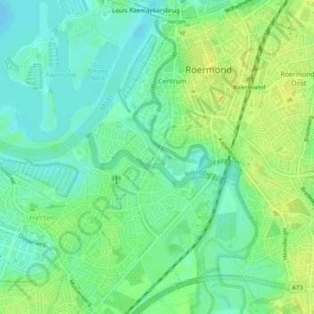
Nom : Carte topographique Hambeek, altitude, relief.
Lieu : Hambeek, Roermond, Limburg, Nederland, 6041SK, Nederland (51.18338 5.97156 51.18829 5.99210)
Altitude moyenne : 24 m
Altitude minimum : 15 m
Altitude maximum : 33 m
Autres cartes topographiques
Cliquez sur une carte pour visualiser sa topographie, son altitude et son relief.