
Carte topographique Thantlang Township
Carte interactive
Cliquez sur la carte pour afficher l’altitude.
À propos de cette carte
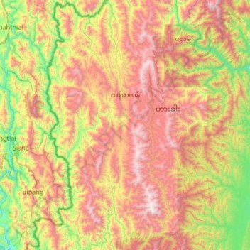
Nom : Carte topographique Thantlang Township, altitude, relief.
Lieu : Thantlang Township, Hakha District, Chin, Myanmar (22.08590 93.09179 23.07117 93.54140)
Altitude moyenne : 1 123 m
Altitude minimum : 115 m
Altitude maximum : 2 670 m