
Carte topographique Elft
Carte interactive
Cliquez sur la carte pour afficher l’altitude.
À propos de cette carte
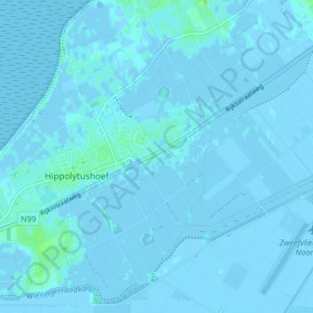
Nom : Carte topographique Elft, altitude, relief.
Altitude moyenne : 0 m
Altitude minimum : -5 m
Altitude maximum : 9 m
Autres cartes topographiques
Cliquez sur une carte pour visualiser sa topographie, son altitude et son relief.
Belt
Nederland > Noord-Holland > Hippolytushoef
Belt, Hippolytushoef, Hollands Kroon, Noord-Holland, Nederland, 1777 HE, Nederland
Altitude moyenne : 0 m
Noordburenweg
Nederland > Noord-Holland > Hippolytushoef
Noordburenweg, Hippolytushoef, Hollands Kroon, Noord-Holland, Nederland, 1777 NC, Nederland
Altitude moyenne : 0 m
Westerklief
Nederland > Noord-Holland > Hippolytushoef > Westerklief
Westerklief, Hippolytushoef, Hollands Kroon, Noord-Holland, Nederland, 1777, Nederland
Altitude moyenne : 0 m