
Carte topographique Plattsburg Boat Launch
Carte interactive
Cliquez sur la carte pour afficher l’altitude.
À propos de cette carte
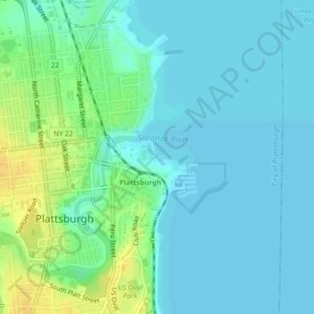
Nom : Carte topographique Plattsburg Boat Launch, altitude, relief.
Altitude moyenne : 36 m
Altitude minimum : 29 m
Altitude maximum : 55 m
Autres cartes topographiques
Cliquez sur une carte pour visualiser sa topographie, son altitude et son relief.
Champlain Park
United States > New York > Clinton County > City of Plattsburgh
Champlain Park, City of Plattsburgh, Clinton County, New York, United States
Altitude moyenne : 37 m