
Carte topographique IJhorst
Carte interactive
Cliquez sur la carte pour afficher l’altitude.
À propos de cette carte
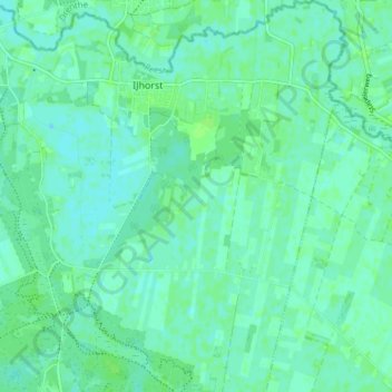
Nom : Carte topographique IJhorst, altitude, relief.
Lieu : IJhorst, Staphorst, Overijssel, Niederlande (52.62498 6.26147 52.67051 6.32931)
Altitude moyenne : 4 m
Altitude minimum : 0 m
Altitude maximum : 7 m
Autres cartes topographiques
Cliquez sur une carte pour visualiser sa topographie, son altitude et son relief.
Staphorst
Niederlande > Overijssel > Staphorst > Staphorst
Staphorst, Overijssel, Niederlande
Altitude moyenne : 2 m