
Carte topographique Tianciwan
Carte interactive
Cliquez sur la carte pour afficher l’altitude.
À propos de cette carte
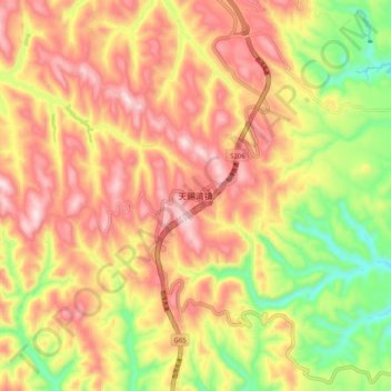
Nom : Carte topographique Tianciwan, altitude, relief.
Lieu : Tianciwan, Yulin, Shaanxi, China (37.28277 108.88860 37.36277 108.96860)
Altitude moyenne : 1 485 m
Altitude minimum : 1 254 m
Altitude maximum : 1 671 m
Autres cartes topographiques
Cliquez sur une carte pour visualiser sa topographie, son altitude et son relief.