
Carte topographique Boron
Carte interactive
Cliquez sur la carte pour afficher l’altitude.
Boron
Boron (formerly Amargo, Baker, Borate, and Kern)[4] is a census-designated place (CDP) in Kern County, California, United States. Boron is 15 miles (24 km) southwest of Red Rock Mountain at an elevation of 2,467 feet (752 m).[4] The population was 2,086 at the 2020 census, up from 2,025 at the 2000 census. Boron is named after the element boron and is the site of the world's largest source of the boron compound boric acid.
À propos de cette carte
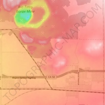
Nom : Carte topographique Boron, altitude, relief.
Lieu : Boron, Kern County, California, United States (34.99091 -117.70336 35.05041 -117.63242)
Altitude moyenne : 753 m
Altitude minimum : 583 m
Altitude maximum : 812 m
Autres cartes topographiques
Cliquez sur une carte pour visualiser sa topographie, son altitude et son relief.