
Carte topographique Antiocheia in Psidia
Carte interactive
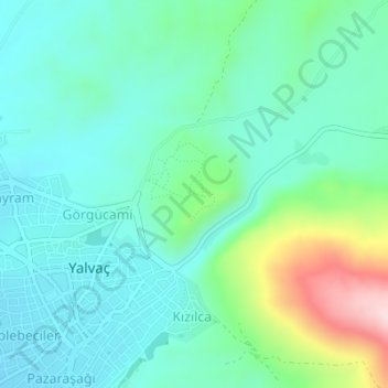
Cliquez sur la carte pour afficher l’altitude.
À propos de cette carte
Nom : Carte topographique Antiocheia in Psidia, altitude, relief.
Altitude moyenne : 1 158 m
Altitude minimum : 1 088 m
Altitude maximum : 1 387 m
The church is on the axis of the Platea, Propylon, and Augusteum and was so named by researchers because of its topographical position. One apse which was then visible had been identified as part of a church by Arundell, but none of the further researchers were interested in the building until 1924, when it was excavated and the architect Woodbridge drew a rough plan. It was thought that the church had a small Latin-cross plan, but continuing excavations in 1927 by Ramsay and in the present by Taşlıalan have shown that the central church has a larger and a more orthodox plan.