
Carte topographique Sudeley Castle
Carte interactive
Cliquez sur la carte pour afficher l’altitude.
À propos de cette carte
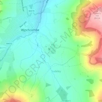
Nom : Carte topographique Sudeley Castle, altitude, relief.
Altitude moyenne : 135 m
Altitude minimum : 77 m
Altitude maximum : 269 m
His elevation almost certainly came from his assistance in the suppression of the Wyatt rebellion.