
Carte topographique Irlbach an der Donau
Carte interactive
Cliquez sur la carte pour afficher l’altitude.
À propos de cette carte
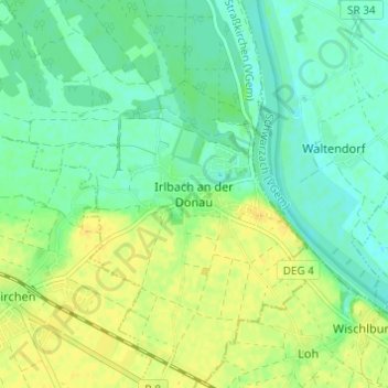
Nom : Carte topographique Irlbach an der Donau, altitude, relief.
Altitude moyenne : 321 m
Altitude minimum : 311 m
Altitude maximum : 333 m