
Carte topographique Shahindezh
Carte interactive
Cliquez sur la carte pour afficher l’altitude.
À propos de cette carte
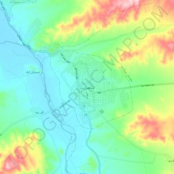
Nom : Carte topographique Shahindezh, altitude, relief.
Altitude moyenne : 1 418 m
Altitude minimum : 1 337 m
Altitude maximum : 1 619 m
Shahin Dezh is located about 1,300 meters in elevation. The city is on the Zarrineh River, southeast of Lake Urmia.