
Carte topographique Castle Rock
Carte interactive
Cliquez sur la carte pour afficher l’altitude.
À propos de cette carte
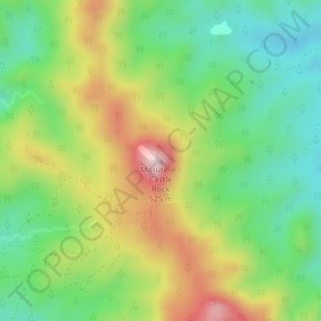
Nom : Carte topographique Castle Rock, altitude, relief.
Altitude moyenne : 217 m
Altitude minimum : 52 m
Altitude maximum : 467 m
Autres cartes topographiques
Cliquez sur une carte pour visualiser sa topographie, son altitude et son relief.
Tairua
Neuseeland > Waikato > Thames-Coromandel District
Tairua, Thames-Coromandel District, Waikato, 3579, Neuseeland
Altitude moyenne : 222 m