
Carte topographique Dolores Hidalgo
Carte interactive
Cliquez sur la carte pour afficher l’altitude.
Dolores Hidalgo
It is located at 21°10′N 100°56′W / 21.17°N 100.93°W / 21.17; -100.93, at an elevation of about 1,980 meters (6,480 feet) above sea level. In the census of 2005 the city had a population of 54,843, while the municipality had 134,641 inhabitants. The city lies directly in the center of the municipality, which is 1,656 km2 (639 sq mi) in area and includes numerous small outlying communities, the largest of which is Río Laja with a population of 2,211 (2005 census).
À propos de cette carte
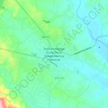
Nom : Carte topographique Dolores Hidalgo, altitude, relief.
Lieu : Dolores Hidalgo, Guanajuato, 37800, Mexico (21.11740 -100.97462 21.19740 -100.89462)
Altitude moyenne : 1 938 m
Altitude minimum : 1 893 m
Altitude maximum : 2 124 m