
Carte topographique Adair
Carte interactive
Cliquez sur la carte pour afficher l’altitude.
Adair
Adair lies 10 miles (16 km) north of Pryor on U.S. Route 69 in Mayes County. The city is in the northeastern portion of the state known as "Green Country" and is near the borders of Kansas, Missouri, and Arkansas. Adair's geographic coordinates are 36°26′13″N 95°15′45″W / 36.43694°N 95.26250°W / 36.43694; -95.26250 (36.436910, -95.262546) with an elevation of 640 ft (200 m) above sea level. According to the United States Census Bureau, the town has a total area of 4.5 square miles (12 km2), all land.
À propos de cette carte
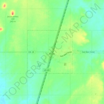
Nom : Carte topographique Adair, altitude, relief.
Lieu : Adair, Mayes County, Oklahoma, 74330, United States (36.42344 -95.29204 36.45237 -95.20534)
Altitude moyenne : 206 m
Altitude minimum : 190 m
Altitude maximum : 235 m