
Carte topographique Sirkazhi
Carte interactive
Cliquez sur la carte pour afficher l’altitude.
À propos de cette carte
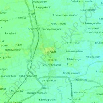
Nom : Carte topographique Sirkazhi, altitude, relief.
Altitude moyenne : 5 m
Altitude minimum : 0 m
Altitude maximum : 10 m
Sirkazhi is located at 11°14′N 79°44′E / 11.23°N 79.73°E / 11.23; 79.73, on the eastern flank of the Kumbakonam-Shiyali ridge, which runs along the Kollidam River. Sirkazhi has an average elevation of 5.18 m (17.0 ft) above sea level and is located at 13 km (8.1 mi) west of Bay of Bengal. It is located 95 km (59 mi) north-east of Thanjavur, 24 km (15 mi) north of Mayiladuthurai and 20 kilometres (12 mi) south of Chidambaram.