
Carte topographique Thabeikkyin Township
Carte interactive
Cliquez sur la carte pour afficher l’altitude.
À propos de cette carte
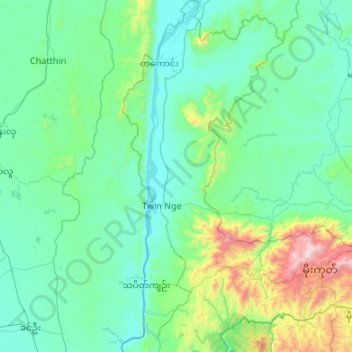
Nom : Carte topographique Thabeikkyin Township, altitude, relief.
Lieu : Thabeikkyin Township, Pyin Oo Lwin District, Mandalay, Myanmar (22.69870 95.90287 23.68381 96.39256)
Altitude moyenne : 316 m
Altitude minimum : 69 m
Altitude maximum : 2 201 m