
Carte topographique Gander Bay
Carte interactive
Cliquez sur la carte pour afficher l’altitude.
À propos de cette carte
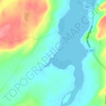
Nom : Carte topographique Gander Bay, altitude, relief.
Lieu : Gander Bay, Newfoundland, Newfoundland and Labrador, Canada (49.24818 -54.52865 49.28818 -54.48865)
Altitude moyenne : 20 m
Altitude minimum : -1 m
Altitude maximum : 74 m