
Carte topographique St. Clair River
Carte interactive
Cliquez sur la carte pour afficher l’altitude.
St. Clair River
The river is 40.5 miles (65.2 km) long and drops 5 feet (2 m) in elevation from Lake Huron to Lake St. Clair. The flow rate averages around 182,000 cubic feet per second (5,200 m3/s), and the drainage area is 223,600 square miles (579,000 km2). This takes into account the combined drainage areas of Lakes Huron, Michigan, and Superior.
À propos de cette carte
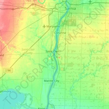
Nom : Carte topographique St. Clair River, altitude, relief.
Altitude moyenne : 191 m
Altitude minimum : 171 m
Altitude maximum : 236 m