
Carte topographique Bachhan
Carte interactive
Cliquez sur la carte pour afficher l’altitude.
À propos de cette carte
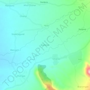
Nom : Carte topographique Bachhan, altitude, relief.
Altitude moyenne : 1 749 m
Altitude minimum : 1 695 m
Altitude maximum : 1 970 m
Autres cartes topographiques
Cliquez sur une carte pour visualiser sa topographie, son altitude et son relief.
Kuther
India > Jammu and Kashmir > Shangus tehsil
Kuther, Shangus tehsil, Anantnag District, Jammu and Kashmir, 192201, India
Altitude moyenne : 1 862 m