
Carte topographique Andalo
Carte interactive
Cliquez sur la carte pour afficher l’altitude.
À propos de cette carte
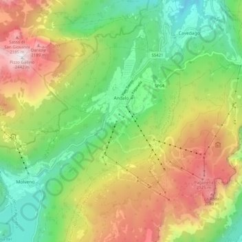
Nom : Carte topographique Andalo, altitude, relief.
Altitude moyenne : 1 369 m
Altitude minimum : 655 m
Altitude maximum : 2 412 m
The town lies on the Paganella plateau, between the mountains Piz Galin, elevation 2,442 metres (8,012 ft), and Paganella, 2,125 metres (6,972 ft), and its territory is part of the Adamello-Brenta natural park.