
Carte topographique Sokoľ
Carte interactive
Cliquez sur la carte pour afficher l’altitude.
À propos de cette carte
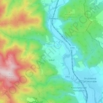
Nom : Carte topographique Sokoľ, altitude, relief.
Altitude moyenne : 393 m
Altitude minimum : 222 m
Altitude maximum : 772 m
The village lies at an altitude of 250 metres and covers an area of 15.662 km². The municipality has a population of 880 people.