

Carte topographique Ramban
Cliquez sur la carte pour afficher l’altitude.
Ramban
Ramban district has an average elevation of 747 metres (3792 feet). The boundary lines of Ramban district have come to be drawn from Patnitop on its south, Assar on its east, Gool on its west and Banihal on its north. Ramban district comprises seven Tehsils, namely Banihal, Khari, Pogal Paristan, Ramban, Rajgarh and Gool, and four community development blocks, namely Banihal, Gool, Ramban and Ramsoo. The district consisted of 116 census villages and 127 Revenue villages in 2001. Total panchayat Halqas in District Ramban are 142.
À propos de cette carte
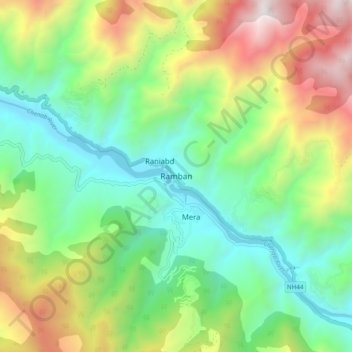
Nom : Carte topographique Ramban, altitude, relief.
Lieu : Ramban, Ramban District, Jammu and Kashmir, India (33.19870 75.20044 33.27870 75.28044)
Altitude moyenne : 1 332 m
Altitude minimum : 649 m
Altitude maximum : 2 604 m