
Carte topographique Lansingerland
Carte interactive
Cliquez sur la carte pour afficher l’altitude.
À propos de cette carte
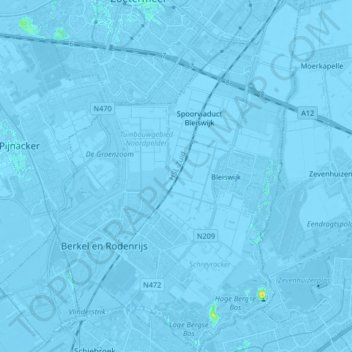
Nom : Carte topographique Lansingerland, altitude, relief.
Lieu : Lansingerland, Südholland, Niederlande (51.96029 4.42422 52.06174 4.56520)
Altitude moyenne : -3 m
Altitude minimum : -9 m
Altitude maximum : 21 m
Autres cartes topographiques
Cliquez sur une carte pour visualiser sa topographie, son altitude et son relief.
Berkel en Rodenrijs
Niederlande > Südholland > Lansingerland
Berkel en Rodenrijs, Lansingerland, Südholland, Niederlande
Altitude moyenne : -3 m