
Carte topographique Federal Territory of Labuan
Carte interactive
Cliquez sur la carte pour afficher l’altitude.
À propos de cette carte
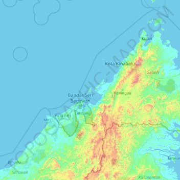
Nom : Carte topographique Federal Territory of Labuan, altitude, relief.
Lieu : Federal Territory of Labuan, Malaysia (2.75683 112.65986 7.87683 117.77986)
Altitude moyenne : 179 m
Altitude minimum : -4 m
Altitude maximum : 3 963 m