
Carte topographique Hampton Roads
Carte interactive
Cliquez sur la carte pour afficher l’altitude.
Hampton Roads
The geology and topography of the Hampton Roads region is influenced by the Chesapeake Bay impact crater, one of three factors contributing to the sinking of Hampton Roads at a rate between 15 and 23 centimeters (5.9 and 9.1 inches) per century.
À propos de cette carte
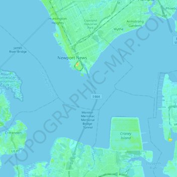
Nom : Carte topographique Hampton Roads, altitude, relief.
Lieu : Hampton Roads, Newport News, Virginia, United States (36.89637 -76.49562 37.00310 -76.29701)
Altitude moyenne : 2 m
Altitude minimum : -4 m
Altitude maximum : 34 m