
Carte topographique Kohat
Carte interactive
Cliquez sur la carte pour afficher l’altitude.
À propos de cette carte
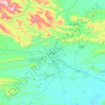
Nom : Carte topographique Kohat, altitude, relief.
Lieu : Kohat, Kohāt District, Khyber Pakhtunkhwa, Pakistan (33.43671 71.27999 33.75671 71.59999)
Altitude moyenne : 722 m
Altitude minimum : 369 m
Altitude maximum : 2 162 m