
Carte topographique Zaidpur
Carte interactive
Cliquez sur la carte pour afficher l’altitude.
Zaidpur
Zaidpur lies at 26°50′N 81°20′E / 26.83°N 81.33°E / 26.83; 81.33 in India's north east. Its nearest service centre is Nawabganj, approximately 20 km to the northwest and its nearest city is Lucknow, approximately 30 km to the west. Faizabad is further away to the east. Delhi and Agra lie to the west. The border with Nepal lies approximately 150 km to the northeast. Zaidpur's elevation is 109 metres (357 feet).
À propos de cette carte
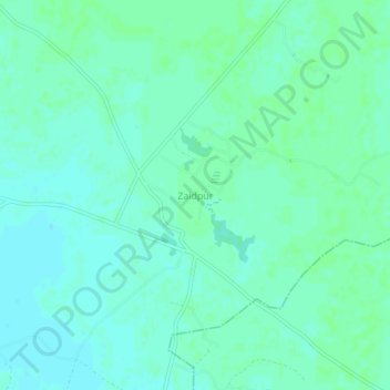
Nom : Carte topographique Zaidpur, altitude, relief.
Altitude moyenne : 116 m
Altitude minimum : 112 m
Altitude maximum : 119 m