
Carte topographique Village of Lomond
Carte interactive
Cliquez sur la carte pour afficher l’altitude.
À propos de cette carte
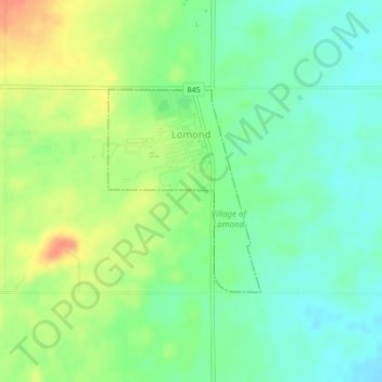
Nom : Carte topographique Village of Lomond, altitude, relief.
Lieu : Village of Lomond, Vulcan County, Alberta, Canada (50.33924 -112.65070 50.35361 -112.63380)
Altitude moyenne : 874 m
Altitude minimum : 855 m
Altitude maximum : 901 m