
Carte topographique Sungai Muntoh
Carte interactive
Cliquez sur la carte pour afficher l’altitude.
À propos de cette carte
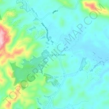
Nom : Carte topographique Sungai Muntoh, altitude, relief.
Lieu : Sungai Muntoh, Jelebu, Negeri Sembilan, Malaysia (2.99932 102.06091 3.03932 102.10091)
Altitude moyenne : 161 m
Altitude minimum : 110 m
Altitude maximum : 339 m