
Carte topographique Calipatria
Carte interactive
Cliquez sur la carte pour afficher l’altitude.
À propos de cette carte
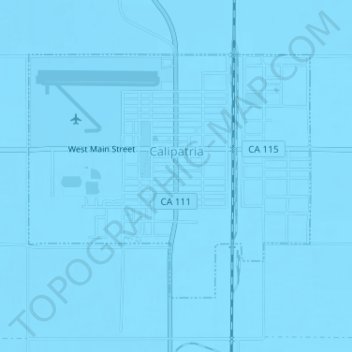
Nom : Carte topographique Calipatria, altitude, relief.
Lieu : Calipatria, Imperial County, California, United States (33.11432 -115.52771 33.13301 -115.50189)
Altitude moyenne : -53 m
Altitude minimum : -57 m
Altitude maximum : -49 m
At an elevation of 180 feet (55 m) below sea level, Calipatria is the lowest elevation city in the western hemisphere. The city currently claims to have the "tallest flagpole (184 feet) where the flag flies at sea level" at 184 feet (56 m), so their American flag will always fly above sea level. According to the Guinness Book of World Records the Jeddah Flagpole holds the title of world's tallest, but it is entirely above sea level.