
Carte topographique Lindero
Carte interactive
Cliquez sur la carte pour afficher l’altitude.
À propos de cette carte
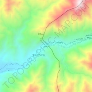
Nom : Carte topographique Lindero, altitude, relief.
Lieu : Lindero, Saramarca, Palpa, Province of Palpa, Ica, Peru (-14.50879 -75.11661 -14.46879 -75.07661)
Altitude moyenne : 896 m
Altitude minimum : 539 m
Altitude maximum : 1 458 m