
Carte topographique Kashan
Carte interactive
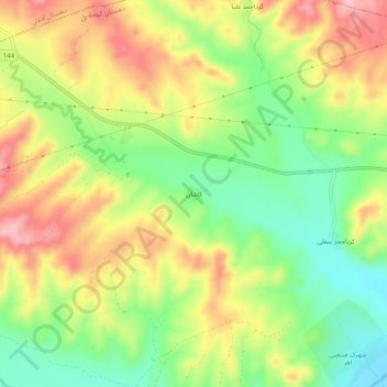
Cliquez sur la carte pour afficher l’altitude.
À propos de cette carte
Nom : Carte topographique Kashan, altitude, relief.
Altitude moyenne : 1 416 m
Altitude minimum : 1 336 m
Altitude maximum : 1 505 m
Kashan has a cold desert climate with cold winters (although warmer than other Iranian cities) and hot, sometimes very hot summers. Kashan is significantly warmer than other cities in the Iranian Plateau due to its lower elevation. Its climate is somewhat similar to Qom.