
Carte topographique Bunker Hill
Carte interactive
Cliquez sur la carte pour afficher l’altitude.
Bunker Hill
Bunker Hill is located at 38°52′29″N 98°42′10″W / 38.87472°N 98.70278°W / 38.87472; -98.70278 (38.874716, -98.702759), at an elevation of 1,860 feet (567 m). Located in north-central Kansas, Bunker Hill is 108 miles (174 km) northwest of Wichita and 221 miles (355 km) west of Kansas City. Located 1 mile (1.7 km) north of Interstate 70, it is roughly 8 miles (13 km) east of Russell, the county seat.
À propos de cette carte
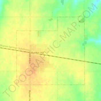
Nom : Carte topographique Bunker Hill, altitude, relief.
Lieu : Bunker Hill, Russell County, Kansas, United States (38.86724 -98.71125 38.88547 -98.68782)
Altitude moyenne : 562 m
Altitude minimum : 541 m
Altitude maximum : 573 m