
Carte topographique Großaltdorf
Carte interactive
Cliquez sur la carte pour afficher l’altitude.
À propos de cette carte
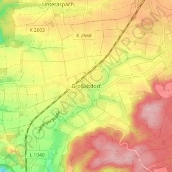
Nom : Carte topographique Großaltdorf, altitude, relief.
Altitude moyenne : 418 m
Altitude minimum : 322 m
Altitude maximum : 486 m