
Carte topographique Poprad
Carte interactive
Cliquez sur la carte pour afficher l’altitude.
À propos de cette carte
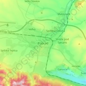
Nom : Carte topographique Poprad, altitude, relief.
Altitude moyenne : 699 m
Altitude minimum : 584 m
Altitude maximum : 932 m
International Poprad–Tatry Airport from 1938, is an airport with the highest elevations in Central Europe. It also offers scheduled flights to London.