
Carte topographique Plenzengreith
Carte interactive
Cliquez sur la carte pour afficher l’altitude.
À propos de cette carte
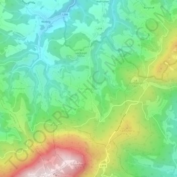
Nom : Carte topographique Plenzengreith, altitude, relief.
Lieu : Plenzengreith, Passail, Bezirk Weiz, Styria, 8162, Austria (47.19788 15.45930 47.23788 15.49930)
Altitude moyenne : 946 m
Altitude minimum : 689 m
Altitude maximum : 1 448 m
Autres cartes topographiques
Cliquez sur une carte pour visualiser sa topographie, son altitude et son relief.
Anger
Austria > Styria > Bezirk Weiz
Anger, Bezirk Weiz, Styria, 8184, Austria
Altitude moyenne : 790 m
Naas
Austria > Styria > Bezirk Weiz > Naas
Naas, Bezirk Weiz, Styria, 8160, Austria
Altitude moyenne : 745 m
Rosenkogel
Austria > Styria > Bezirk Weiz > Puch bei Weiz
Rosenkogel, Puch bei Weiz, Bezirk Weiz, Styria, 8182, Austria
Altitude moyenne : 542 m