
Carte topographique Golts
Carte interactive
Cliquez sur la carte pour afficher l’altitude.
À propos de cette carte
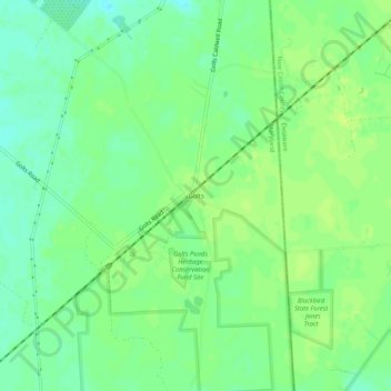
Nom : Carte topographique Golts, altitude, relief.
Lieu : Golts, Kent County, Maryland, United States (39.31678 -75.79466 39.35678 -75.75466)
Altitude moyenne : 22 m
Altitude minimum : 14 m
Altitude maximum : 27 m
Autres cartes topographiques
Cliquez sur une carte pour visualiser sa topographie, son altitude et son relief.
Still Pond
United States > Maryland > Kent County
Still Pond, Kent County, Maryland, 21667, United States
Altitude moyenne : 21 m
Langford Bay Estates
United States > Maryland > Kent County
Langford Bay Estates, Kent County, Maryland, United States
Altitude moyenne : 4 m