
Carte topographique Pag-asa Island
Carte interactive
Cliquez sur la carte pour afficher l’altitude.
À propos de cette carte
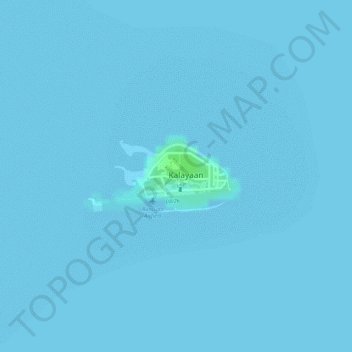
Nom : Carte topographique Pag-asa Island, altitude, relief.
Lieu : Pag-asa Island, Kalayaan, Palawan, Mimaropa, Philippines (11.05062 114.27755 11.05621 114.28974)
Altitude moyenne : 0 m
Altitude minimum : 0 m
Altitude maximum : 8 m
Autres cartes topographiques
Cliquez sur une carte pour visualiser sa topographie, son altitude et son relief.
Kalayaan
Philippines > Palawan > Kalayaan
Kalayaan, Palawan, Mimaropa, 5322, Philippines
Altitude moyenne : 0 m