
Carte topographique Horn Mill Spinney
Carte interactive
Cliquez sur la carte pour afficher l’altitude.
À propos de cette carte
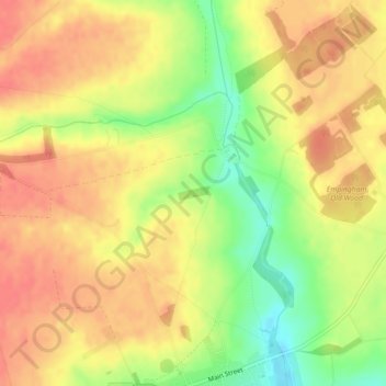
Nom : Carte topographique Horn Mill Spinney, altitude, relief.
Lieu : Horn Mill Spinney, Empingham, Rutland, England, United Kingdom (52.68029 -0.59822 52.68127 -0.59460)
Altitude moyenne : 88 m
Altitude minimum : 51 m
Altitude maximum : 109 m