
Carte topographique Somali Peninsula
Carte interactive
Cliquez sur la carte pour afficher l’altitude.
Somali Peninsula
In Somalia and Somaliland, there is not much seasonal variation in climate. Hot conditions prevail year-round along with periodic monsoon winds and irregular rainfall. Mean daily maximum temperatures range from 28 to 43 °C (82 to 109 °F), except at higher elevations along the eastern seaboard, where the effects of a cold offshore current can be felt. Somalia has only two permanent rivers, the Jubba and the Shabele, both of which begin in the Ethiopian Highlands.
À propos de cette carte
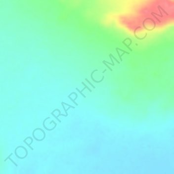
Nom : Carte topographique Somali Peninsula, altitude, relief.
Lieu : Somali Peninsula, Qardho District, Bari, Puntland, Somalia (9.83328 49.16662 9.83338 49.16672)
Altitude moyenne : 840 m
Altitude minimum : 822 m
Altitude maximum : 894 m