
Carte topographique Progled
Carte interactive
Cliquez sur la carte pour afficher l’altitude.
À propos de cette carte
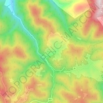
Nom : Carte topographique Progled, altitude, relief.
Lieu : Progled, Chepelare, Smolyan, 4870, Bulgaria (41.65769 24.69338 41.69769 24.73338)
Altitude moyenne : 1 466 m
Altitude minimum : 1 192 m
Altitude maximum : 1 743 m
Autres cartes topographiques
Cliquez sur une carte pour visualiser sa topographie, son altitude et son relief.