
Carte topographique Dollard
Carte interactive
Cliquez sur la carte pour afficher l’altitude.
À propos de cette carte
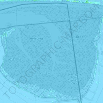
Nom : Carte topographique Dollard, altitude, relief.
Altitude moyenne : 0 m
Altitude minimum : -5 m
Altitude maximum : 15 m
Autres cartes topographiques
Cliquez sur une carte pour visualiser sa topographie, son altitude et son relief.
Nieuw Beerta
Nederland > Groningen > Oldambt
Nieuw Beerta, Oldambt, Groningen, Nederland
Altitude moyenne : -2 m
Nieuw Scheemda
Nederland > Groningen > Oldambt
Nieuw Scheemda, Oldambt, Groningen, Nederland
Altitude moyenne : -1 m
Winschoterdiep
Nederland > Groningen > Oldambt
Winschoterdiep, Oldambt, Groningen, Nederland, 9636AL, Nederland
Altitude moyenne : 0 m