
Carte topographique Lukasi
Carte interactive
Cliquez sur la carte pour afficher l’altitude.
À propos de cette carte
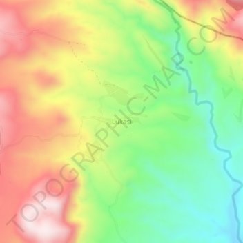
Nom : Carte topographique Lukasi, altitude, relief.
Lieu : Lukasi, Busokelo, Mbeya, Southern Highlands Zone, Tanzanie (-9.27372 33.84182 -9.23372 33.88182)
Altitude moyenne : 1 084 m
Altitude minimum : 821 m
Altitude maximum : 1 382 m
Autres cartes topographiques
Cliquez sur une carte pour visualiser sa topographie, son altitude et son relief.