
Carte topographique Pandamatenga
Carte interactive
Cliquez sur la carte pour afficher l’altitude.
À propos de cette carte
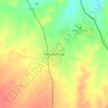
Nom : Carte topographique Pandamatenga, altitude, relief.
Lieu : Pandamatenga, Chobe District, Botswana (-18.59066 25.59169 -18.51066 25.67169)
Altitude moyenne : 1 074 m
Altitude minimum : 1 043 m
Altitude maximum : 1 100 m
Autres cartes topographiques
Cliquez sur une carte pour visualiser sa topographie, son altitude et son relief.